The "community map" is a cartographic representation of the territory in which the community that inhabits it can identify itself by rediscovering the history of the men who inhabited and transformed it in the past and the signs that characterized it.
It is more than a map or a simple inventory of material or immaterial assets: it is a tool built by the inhabitants with which they can represent the heritage, the landscape, the knowledge in which they recognize themselves and which they wish to transmit to the new generations, creating between these elements a network of invisible relationships.
It highlights the way in which the local community sees, perceives and attributes value to its territory, its memories, its transformations, its current reality and how it would like it to be in the future.
Preparing a community map means starting a process aimed at obtaining a permanent, and always updatable, "archive" of the people and places of a territory.
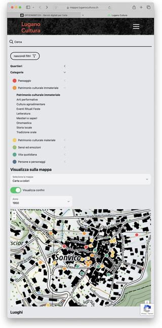
The digital archiving platform and the new website share an important integration: that with the topography services and geodesists of "swisstopo", the geoinformation center of Switzerland.
It provides accurate, up-to-date and reliable information aimed at measuring Switzerland and collects data on the landscape and subsoil, monitoring it over time. swisstopo represents Switzerland down to the centimeter!
You can consult the map viewer at the link: map.geo.admin.ch.
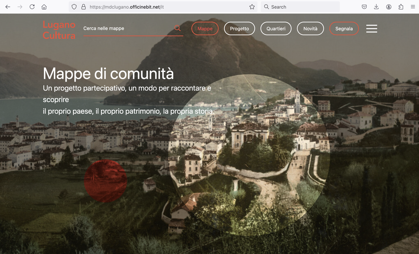
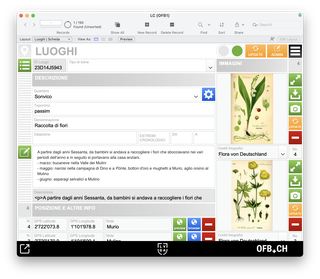
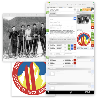
La piattaforma digitale di registrazione ed elaborazione dei dati
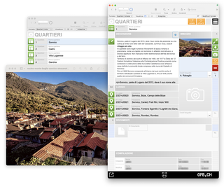
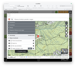
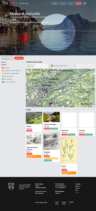
L'integrazione con le mappe topografiche swisstopo nella piattaforma digitale di registrazione dei dati
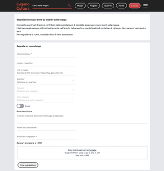
Segnala una nuova risorsa: il form per la comunicazione dei propri "luoghi"
Contatti
info@officinebit.ch